Land Surveying
What Changed in the 2026 ALTA/NSPS Land Title Survey Standards
The 2026 standards took effect February 23, 2026. What changed in Table A, including the new Item 20, and what California buyers should order.
In this article
If your lender or title company asks for an ALTA/NSPS Land Title Survey now, it must be prepared under the 2026 edition of the national standards. The ALTA/NSPS FAQ allows the 2021 edition only in narrow cases tied to work or closings arranged before February 23, 2026.
About this article
This article covers which standards apply, what is different from 2021, and how buyers, developers, lenders, title officers, and attorneys can choose Table A items for a California property.
When did the 2026 ALTA/NSPS standards take effect?
The American Land Title Association (ALTA) adopted the 2026 Minimum Standard Detail Requirements on October 8, 2025. The National Society of Professional Surveyors (NSPS) adopted them on October 17, 2025. Section 3.A sets the effective date:
“The 2026 Minimum Standard Detail Requirements for ALTA/NSPS Land Title Surveys are effective February 23, 2026. As of that date, all previous versions of the Minimum Standard Detail Requirements for ALTA/ACSM or ALTA/NSPS Land Title Surveys are superseded by these standards.”
2026 ALTA/NSPS Minimum Standard Detail Requirements, Section 3.A
The survey request must now specify a “2026 ALTA/NSPS LAND TITLE SURVEY” and list the Table A items wanted (Section 2), and the surveyor’s certificate names the 2026 edition.
- Oct 8ALTA adopted the 2026 Minimum Standard Detail Requirements on October 8, 2025
- Oct 17NSPS adopted them on October 17, 2025
- Feb 23Effective date, February 23, 2026, when all previous versions were superseded (Section 3.A)
If your contract was signed before February 23 and the work finished later, ask which edition was used. The ALTA/NSPS FAQ discusses how to address that transition in the contract.
What changed in the 2026 ALTA/NSPS standards?
We compared the 2026 text with the 2021 edition and ALTA’s published redline. These changes matter most to the people ordering and reviewing surveys:
- New optional Table A Item 20. A table on the plat (the signed survey drawing) that summarizes observed conditions and potential encroachments (details below). In 2021, Item 20 was the blank line for custom requests.
- Custom items are now Item 21. Negotiated extras are numbered 21(a), 21(b), and so on, and an engineering design survey should now be negotiated under Item 21 rather than Item 20.
- Item 15 imagery was rewritten. Features away from the boundary and setback lines may be shown from imagery. The surveyor must first agree with the client in writing on the source, date or version, and licensing costs, discuss accuracy limits with the parties, and note the source, date, and precision on the plat. The written agreement is new.
- Fewer records to supply.
Section 4 no longer lists record descriptions of adjoining properties among the documents the surveyor must be given. The surveyor must still receive the most recent title commitment (the title insurer’s pre-closing report of the policy it will issue and the recorded matters it excepts) or other title evidence satisfactory to the insurer, the current record description, and recorded easements that benefit or burden the property.
Adjoining deeds are still needed: the ALTA/NSPS FAQ explains that title companies often did not supply them and that surveyors must obtain them anyway to relate the property to its neighbors, so the research shifts to the surveyor rather than disappearing.
- Item 11 utility locates. Underground utilities still come from (a) plans and reports the client provides and/or (b) markings from a private utility locate, which the surveyor or the client may now coordinate. A note carried over from 2021 still requires the plat to explain how an ignored or incomplete 811 response affected the surveyor’s view of the utilities.
- Fieldwork and plat details. Evidence of possession along the perimeter must be shown however far it is from the boundary. The “visible evidence” test for physical access was dropped, and vehicular access is named expressly. The plat must note parol (spoken) statements by owners or occupants about title or boundary issues.
- Certification. On request, the certificate may be extended to the lender’s successors and assigns (new Section 7.B).
The maximum allowable Relative Positional Precision, meaning the measurement uncertainty between adjacent boundary corners at 95 percent confidence, is unchanged at 2 cm (0.07 feet) plus 50 parts per million, though its definition was reworded. Table A now also states that any item required by statute, administrative rule, or local ordinance must be included.
What is Table A Item 20 on an ALTA survey?
Item 20 is an optional encroachment and conditions table printed on the plat. It lists conditions the surveyor observed in the field or identified while preparing the survey, with a way to find each one on the drawing. It covers five categories:

- Potential encroachments over boundary lines, onto the surveyed property or onto adjoining property.
- Potential encroachments into rights of way and easements documented in records provided to or obtained by the surveyor.
- Potential encroachments into setbacks, but only when the setback requirements came from a zoning report under Item 6(a) or 6(b) or from recorded documents.
- Physical access between adjoining parcels without a documented easement.
- Use of adjoining parcels by apparent occupants of the surveyed property without a documented easement.
The table expressly makes no legal opinion and no opinion about ownership, and it may not list every concern shown on the plat. According to the ALTA/NSPS FAQ, these conditions were already required to be shown; Item 20 collects them in one place for reviewers. If setback conflicts matter, order Item 6 too and supply the zoning report.
Which Table A items should I select?
Start with the lender’s written survey requirements and anything the title insurer needs for endorsements, then add items for your own purposes. Wording and fees are negotiable, and any change must be explained in a note on the plat. Several items depend on you:
- Items 6(a) and 6(b), zoning. The surveyor shows zoning requirements only from a zoning report or letter you provide.
- Item 11, utilities. Send any utility plans you have, and decide who orders and pays for a private locate.
- Item 15, imagery. Settle the imagery source and licensing in writing before fieldwork.
- Item 18, offsite easements. Plottable offsite easements that benefit the property, such as shared access or parking, become part of the survey. Large ones add scope.
- Item 21, custom items. Item 5 (vertical relief) does not make the job a design survey. If you plan to build, negotiate a design-grade topographic survey for site design under Item 21.
What does an ALTA/NSPS survey include that a standard boundary survey does not?
A boundary survey locates or retraces property lines and corners from record and field evidence. An ALTA/NSPS survey adds the title side. The surveyor summarizes each right of way, easement, and survey-related matter in the title commitment that burdens the property, noting whether each is shown, cannot be located from the record, is a blanket easement, or does not touch the land.

It also shows improvements within five feet of the lines, access, utility evidence, and potential encroachments. It must meet the maximum Relative Positional Precision described above or explain on the plat the site conditions that caused it to be exceeded, and it is certified to the named insured, lender, and insurer. If a new legal description is prepared, the plat must explain why, which ties the survey to the legal descriptions and easement documents used at closing.
Do I need an ALTA survey to buy or refinance commercial property in California?
An ALTA/NSPS survey is a national standard set jointly by ALTA and NSPS, not a California permit requirement. For a purchase or a commercial loan, the requirement usually comes from the lender or title insurer. Section 1 of the standards explains why: the survey lets a title company insure title free of survey matters, other than those the plat discloses.

Watch out
If an older survey exists, the FAQ says there is no such thing as an “update”: an update is a new survey that must meet the current standards. In most cases, expect a 2026-edition survey, not a new signature on the old plat.
Does an ALTA survey in California have to be filed with the county surveyor?
Sometimes. The ALTA/NSPS standards defer to state law: the more stringent requirement applies (Section 3.B), and a plat that state law requires to be filed must be filed (Section 8).
Under Business and Professions Code section 8762(b), the licensed land surveyor must file a record of survey with the county surveyor when the field survey discloses certain conditions. These include a material discrepancy with a recorded map, or points or lines set that no subdivision map, official map, or record of survey shows. The statute also names licensed civil engineers, but under section 8731 a civil engineer licensed after January 1, 1982 must also hold a land surveyor license to practice land surveying.
Key deadline: record of survey
Section 8762(c) requires filing within 90 days after setting boundary monuments or after completing the field survey, whichever comes first. That means setting monuments under Table A Item 1 can trigger a filing.
If the survey only retraces lines on a recorded map, finds no material discrepancy, and finds enough existing monuments, a corner record filed with the county surveyor covers any corners set or reset (section 8765(d)). When section 8762(b) applies instead, a record of survey is required: the county surveyor examines it, then files it with the county recorder (section 8762(e)).
When a survey triggers a California filing
Illustrative diagram — not to scale
- Record of survey: required when the field survey discloses certain conditions, including a material discrepancy with a recorded map, or points or lines set that no subdivision map, official map, or record of survey shows (section 8762(b)).
- Within 90 days: the filing deadline, counted from setting boundary monuments or completing the field survey, whichever comes first (section 8762(c)).
- Examines, then files: the county surveyor examines the record of survey, then files it with the county recorder (section 8762(e)).
- Corner record: filed with the county surveyor for corners set or reset when the survey only retraces lines on a recorded map, finds no material discrepancy, and finds enough existing monuments (section 8765(d)).
What this means for your project
- Order the right edition. The request should say “2026 ALTA/NSPS Land Title Survey” and list the Table A items.
- Get requirements in writing. Ask the lender and title officer for their Table A list and certified parties before pricing.
- Send the records early. The title commitment, record description, and recorded easement documents are required inputs.
- Decide on Item 20 up front, and pair it with Item 6 if setbacks matter.
- Plan for California filing rules when monuments will be set or the record may not match the ground.
If you are ordering ALTA/NSPS land title surveys in California, send us the title commitment and your lender’s Table A list. We will confirm the scope against the 2026 standards and state filing rules before work starts. Surveys are performed under the responsible charge of a California-licensed land surveyor, as state law requires.
Sources
- ALTA/NSPS: 2026 Minimum Standard Detail Requirements for ALTA/NSPS Land Title Surveys (v. 11.25.2025, PDF)
- ALTA: Redline comparison of the 2026 and 2021 ALTA/NSPS standards (PDF)
- ALTA/NSPS: Frequently Asked Questions on the 2026 standards (PDF)
- California Business and Professions Code section 8762 (record of survey filing)
- California Business and Professions Code section 8765 (when a record of survey is not required; corner records)
- California Business and Professions Code section 8731 (civil engineers and land surveying)
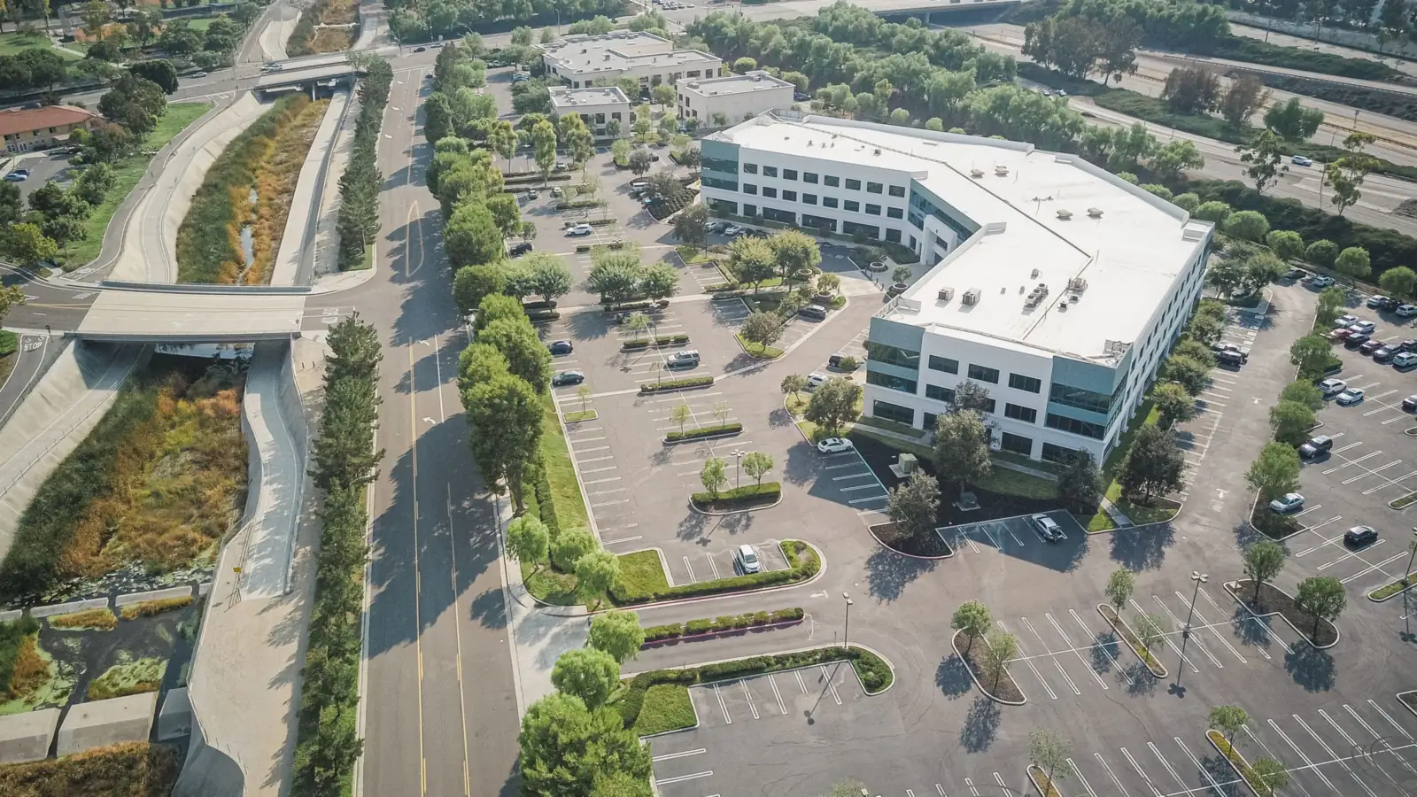
Photos are stock images from Pexels, not projects of American Engineering.


