Land Surveying
Surveys that map the ground, locate and monument property lines, and stake construction, plus records of survey, legal descriptions and flood elevation certificates.

California DVBE · SDVOSB
Surveys, maps, engineered site plans and stormwater documents for California projects, from the first property-line question to permit-ready plans.
American Engineering is a land surveying and civil engineering firm that prepares the surveys, maps, site plans and stormwater documents that property owners, developers and builders need to design, permit and build projects throughout California.
American Engineering is a California-certified Disabled Veteran Business Enterprise (DVBE) and a Service-Disabled Veteran-Owned Small Business (SDVOSB). State agencies and prime contractors can count our work toward DVBE participation goals when we perform a commercially useful function on a distinct scope of work.
Most projects follow the same path. A survey records what is on the ground and where the property lines are. A map creates or adjusts parcels. Engineered plans show what will be built, and stormwater plans keep the site in compliance during and after construction.
Working with one team keeps that path connected: the topographic survey and survey control from the first site visit carry into the grading plans and the construction staking that follow.
Surveys are performed under the responsible charge of a California-licensed land surveyor, as state law requires. Civil engineering plans, calculations and reports are prepared under the responsible charge of a licensed civil engineer and signed and sealed (Business and Professions Code §6735).
Services
Four service groups cover a project from the first boundary question to the last stormwater inspection. Start with the group that matches where your project is today.
Surveys that map the ground, locate and monument property lines, and stake construction, plus records of survey, legal descriptions and flood elevation certificates.
Maps and studies that create, reshape or vet parcels under the Subdivision Map Act and local ordinances, before you buy, design or sell.
Engineered plans and calculations that turn a surveyed site into a permit-ready project, from site layout and grading to streets, utilities, septic systems and metal building foundations.
Drainage calculations, erosion control plans, Stormwater Pollution Prevention Plans (SWPPPs) and site inspections for construction and new development.
Past Work
Case studies of surveys, calculations and plans for public agencies, watershed projects and builders, with the public records behind each project cited.
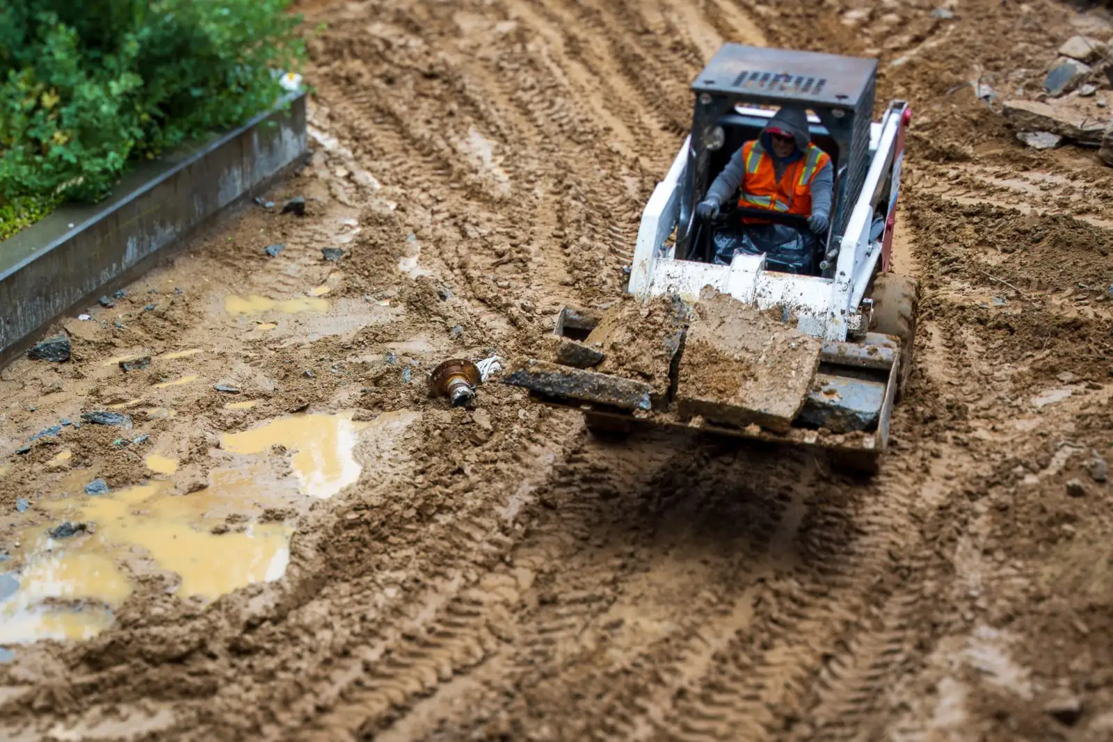
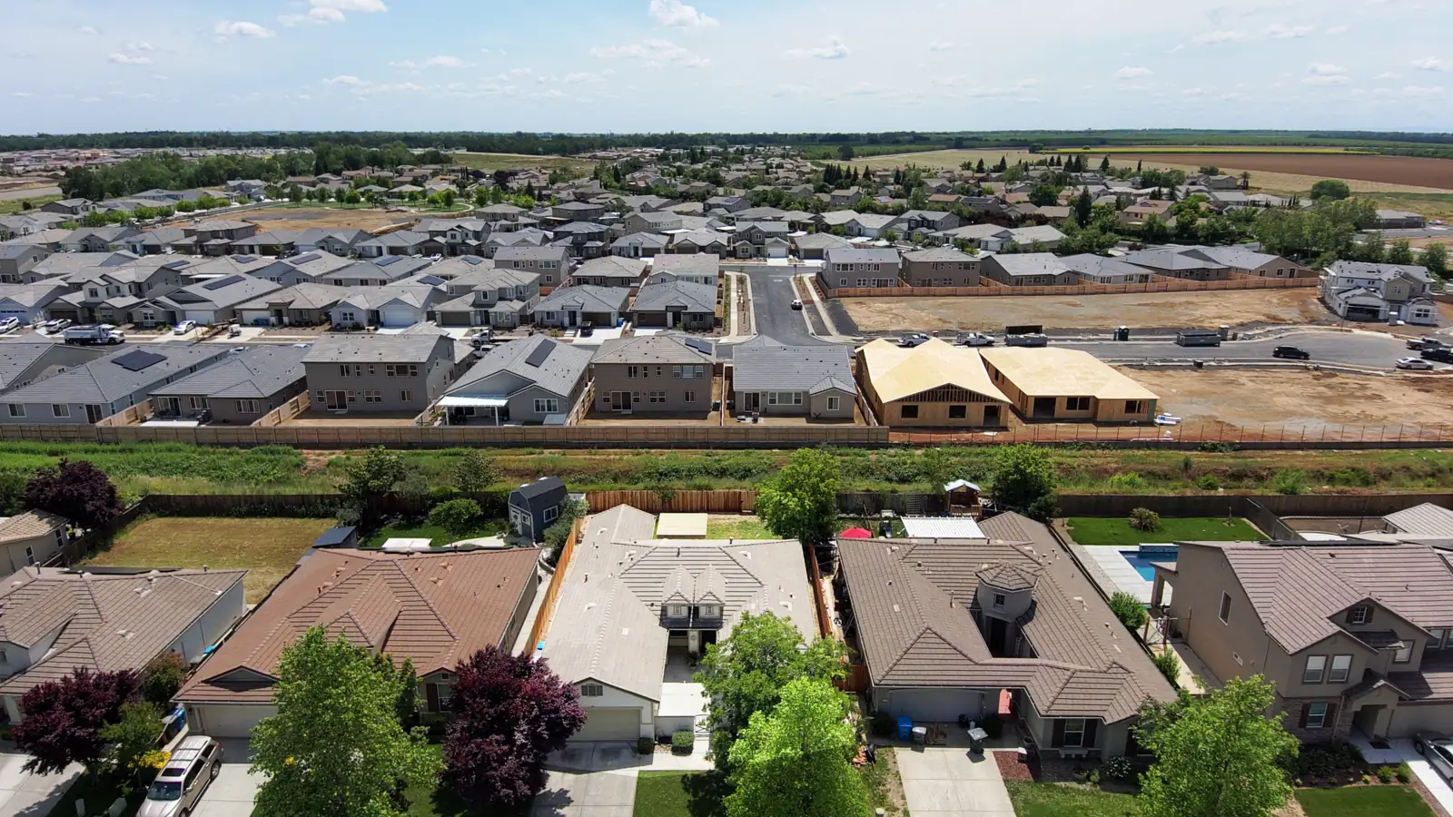
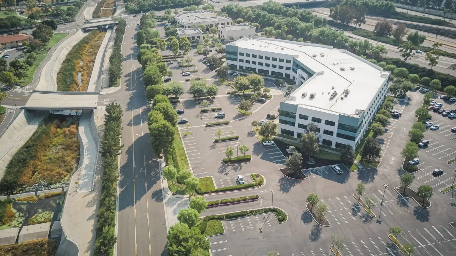
Photos are representative stock images, not the project sites.
Process
Four steps from the first call to signed and sealed deliverables.
Send the address or parcel number, what you plan to build or sell, and any agency conditions or plan-check comments you already have.
We confirm which surveys, maps, plans and permits the project needs, then put the scope, deliverables, fee and schedule in a written proposal.
Records research comes first: recorded maps, deeds and the title report. Field crews then typically measure the site with GNSS (satellite positioning) receivers and total stations.
Maps and plans are prepared, checked, and signed and sealed by the licensee in responsible charge, then revised as needed through your agency's review.
A land survey in California must be prepared by, or under the responsible charge of, a licensed land surveyor or a civil engineer authorized to practice land surveying (Business and Professions Code §8725 and §8731). Civil engineers registered before January 1, 1982 may practice all land surveying; those licensed later need a land surveyor license for boundary work. Any licensed civil engineer may do topographic mapping and construction staking of civil works (§6731.1).
A boundary survey locates or retraces property lines and corners from deeds, recorded maps and monuments found in the field. A topographic survey maps the ground surface, elevations and site features for grading and site design, but does not establish property lines. An ALTA/NSPS land title survey is a boundary survey made to national standards, usually required by a lender or title insurer. Design projects often combine boundary and topographic work on one drawing.
A record of survey must be filed with the county surveyor only when a trigger in Business and Professions Code §8762 applies, for example when the field survey finds a material discrepancy with recorded maps, or establishes or sets points or lines that no recorded map shows. A required record of survey is due within 90 days after monuments are set or the field survey is completed, whichever comes first. Filing is optional otherwise.
A quote request should include the site address or assessor's parcel number (APN), what you plan to build, buy or sell, and any deadline you are working to. Also send what you already have: a title report, recorded maps or earlier surveys, and any agency conditions or plan-check comments. With that, we can confirm which surveys, maps and plans the project needs and put the scope, deliverables, fee and schedule in a written proposal.
The cost and schedule of a survey or civil engineering project depend on the site's size, terrain and access, how much records research the boundary needs, the level of detail, which surveys, maps and plans are combined, and your agency's requirements and review cycles. Share the address, what you plan to build, and any agency conditions; the proposal then sets scope and timing.
Last reviewed .
News Room
Plain-language guides to the California rules behind surveys, maps, site design and stormwater, each with its sources cited.