
Representative photo — not a project site.
Case studies
Past Work: Surveying & Civil Engineering Projects
Surveys, calculations and plans for real projects: post-fire stream crossings, a planned forest road realignment, city storm drain work and new housing.
What these case studies cover
These case studies document surveys, calculations, improvement plans and maps for the City of Chico, the City of Oroville and residential builders, and for watershed consulting firms on a project sponsored by the Butte County Resource Conservation District and a Lassen National Forest project.
The projects are in and around Chico, Oroville and Thermalito in Butte County, plus a Forest Service road in the Lassen National Forest. They range from post-fire stream crossings and a planned road realignment to city storm drain work, an apartment community and a subdivision.
Public clients include the City of Chico and the City of Oroville. On two watershed projects, the client was in each case a watershed consulting firm working on a public project: one sponsored by the Butte County Resource Conservation District, the other a Lassen National Forest project. Private clients are described by type, not by name. Meet the team behind this work.
Projects
Project case studies
Six projects, grouped by the kind of work.
Public works, roads and drainage
-
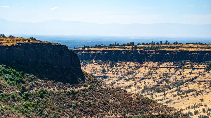
Post-fire road drainage
Centerville Road Stream Crossings
Topographic surveys, culvert sizing, and culvert replacement and erosion control plans for 18 stream crossings in the Camp Fire burn area.
- Topographic surveys
- Culvert sizing
- Improvement plans
- Erosion control plans
-
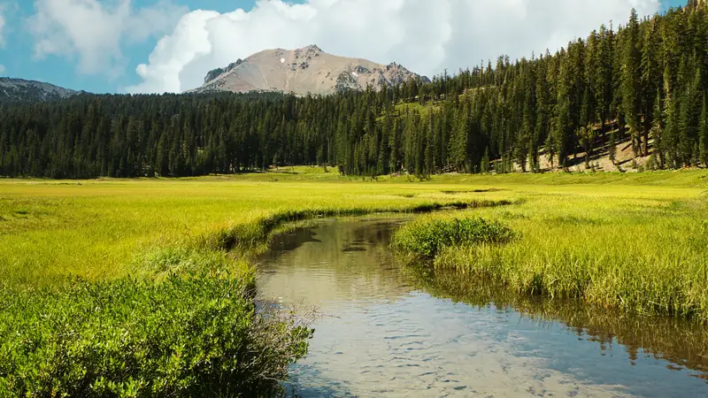
Forest road realignment
Humbug Summit Road Realignment
Surveys of 2.14 miles of Forest Service roads and plans to move Humbug Summit Road out of a wetland meadow along Willow Creek.
- Topographic surveys
- Road relocation plans
- Culvert sizing
- Cost estimate
-
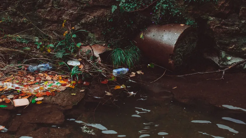
Stormwater trash capture
Normal Avenue Trash Capture Device
Designs, calculations, plans, specifications and estimates to install a trash capture device on an existing storm drain that discharges to Little Chico Creek.
- Design & calculations
- Plans & specifications
- Estimates
-
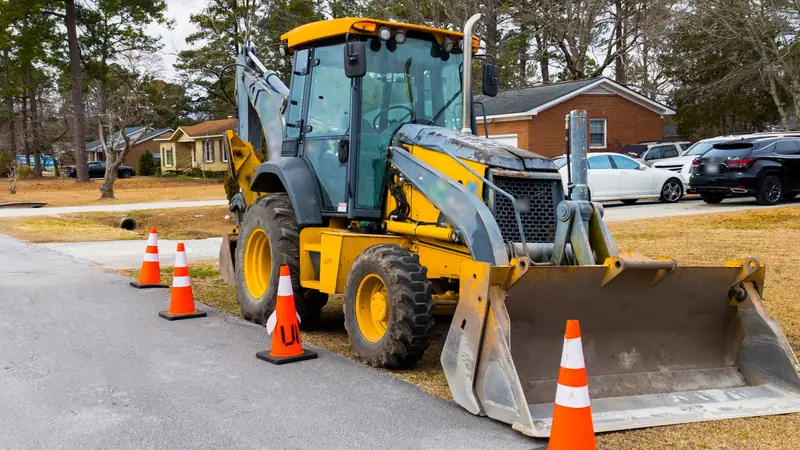
Street & storm drain improvements
Southside Street & Drainage Improvements
Right-of-way research and acquisition, field surveys, design, calculations and PS&E for street and storm drain improvements in southeast Oroville.
- Right-of-way
- Field surveys
- Design & calculations
- PS&E
Residential development
-
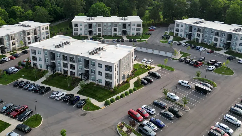
Multifamily residential
Olive Ranch Apartments
Property, boundary and ALTA surveys, lot line adjustments, site improvement plans with storm drain leach trenches, and construction staking for a phased apartment community.
- ALTA surveys
- Lot line adjustments
- Improvement plans
- Construction staking
-
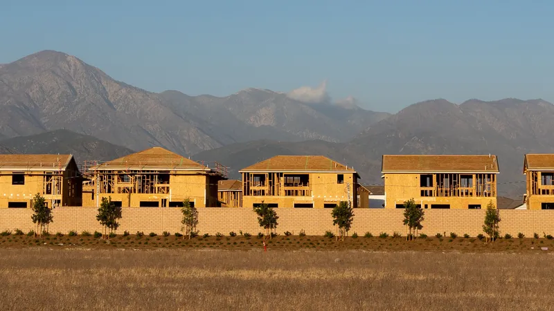
Residential subdivision
Orchardcrest Subdivision
Property and boundary surveys, final subdivision maps for multiple phases, subdivision improvement plans including a storm drain detention basin, and construction staking.
- Boundary surveys
- Improvement plans
- Construction staking
- Final maps
Photos on these pages are representative stock images, not the project sites, and diagrams are illustrative. Public facts about each project are cited on its page.
How we work
From first survey to as-built plans
Each project's scope covers some or all of the same four steps.
Survey and research
Topographic, boundary and ALTA surveys, plus right-of-way research, set the base every design starts from. See land surveying.
Calculate
Culvert sizing calculations for stream crossings, and design calculations for storm drain and trash capture work, support the designs. See stormwater calculations.
Design and document
Improvement plans, erosion control plans, specifications, estimates and maps turn a design into documents an agency can approve. See improvement plans.
Build and record
Construction staking, site inspections and as-built plans carry the design into the field and record the result. See construction staking.
Past work FAQs
What kinds of projects does American Engineering work on?
American Engineering's past work includes culvert replacement plans for post-fire stream crossings, surveys and plans for a proposed Forest Service road realignment, the design of a stormwater trash capture device, city street and storm drain design, and surveys, improvement plans and staking for a phased apartment community and a residential subdivision. The work spans surveys, calculations, improvement plans, maps and construction staking.
Are the photos on these project pages of the actual sites?
The photos on these project pages are representative stock images, not photos of the project sites, and none of them shows American Engineering staff or equipment. Each photo is labeled, the diagrams are illustrative drawings of typical conditions rather than project plans, and public facts are cited to agency records.
Does American Engineering work for public agencies?
American Engineering has worked directly for public agencies, including the City of Chico and the City of Oroville. On two public projects, one involving the Butte County Resource Conservation District and one the Lassen National Forest, its client on each was a watershed consulting firm. Private clients on these pages, such as residential and multifamily builders, are described by type.
Last reviewed .